Alberta and British Columbia, July 5-August 27, 2009
Part 2, the Icefields Parkway
|
Now we arrved at the primary destination for this trip, which was the Icefields Parkway in Jasper and Banff National Parks.
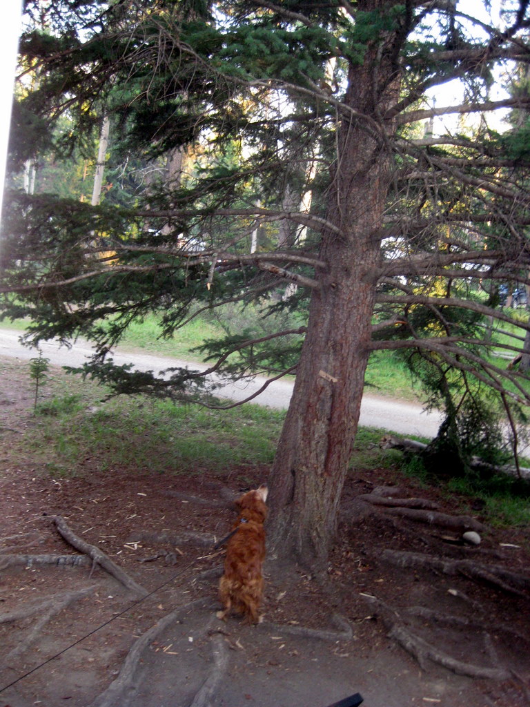
At the north end we stayed four nights in the Whistlers campground near the town of Jasper. Squirrels and Chipmunks were everywhere, much to the delight of Holly and Sammy. You have to look closely to see the chipmunk in the tree at right - it is near the top of the picture, just to the left of the trunk.
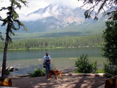
Holly went swimming in Pyramid Lake, from Pyramid Island. Unlike US National Parks the Canadian system is very tolerant of dogs.
|

|
|
|
|
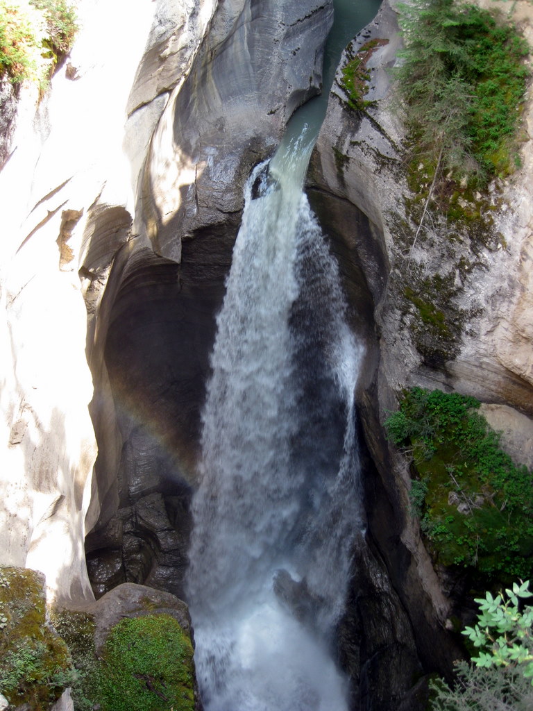
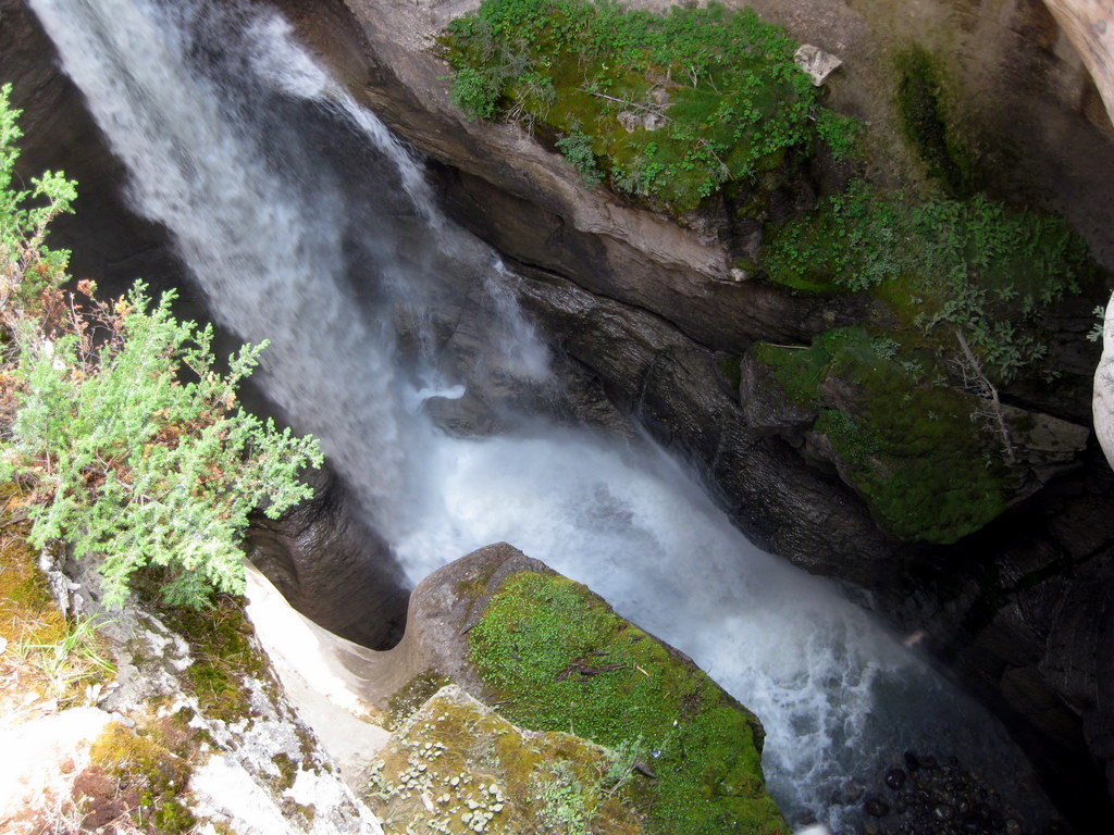
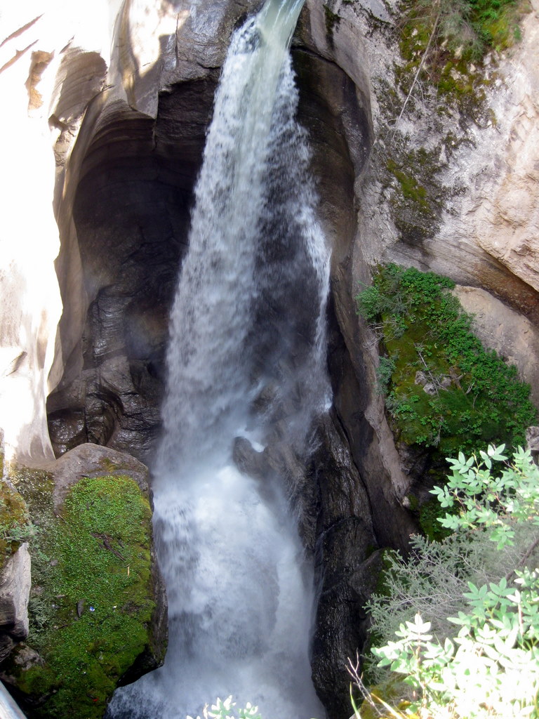
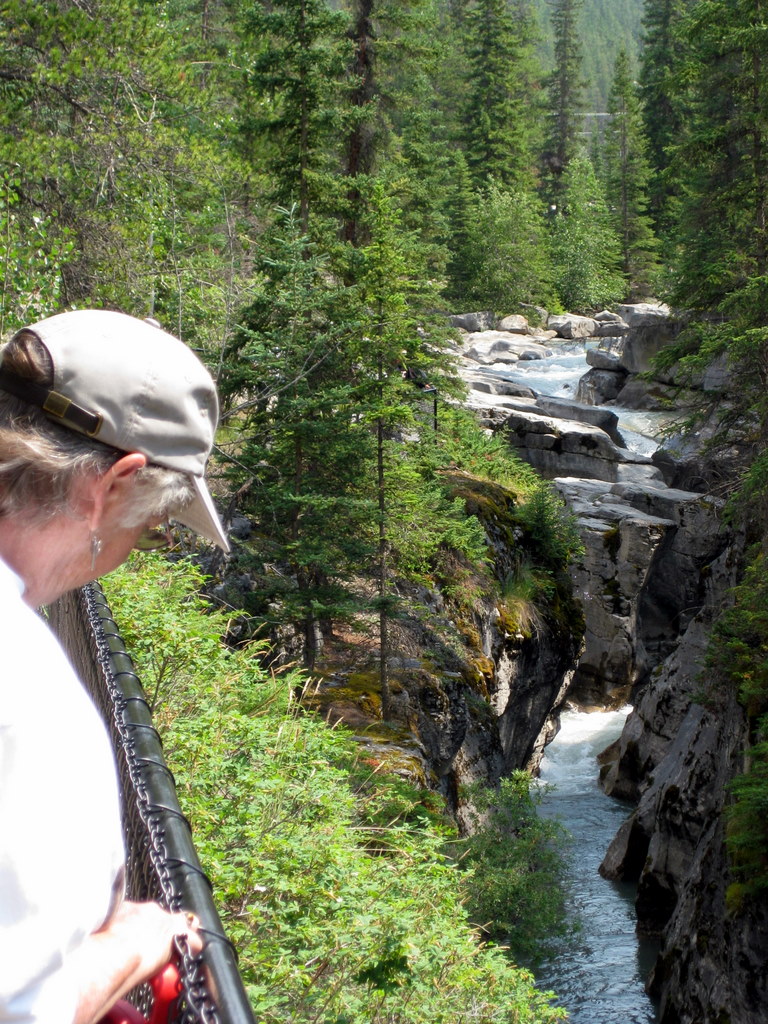
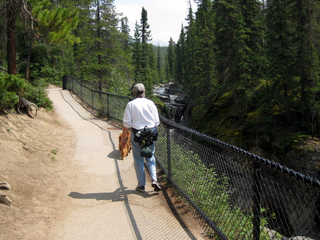
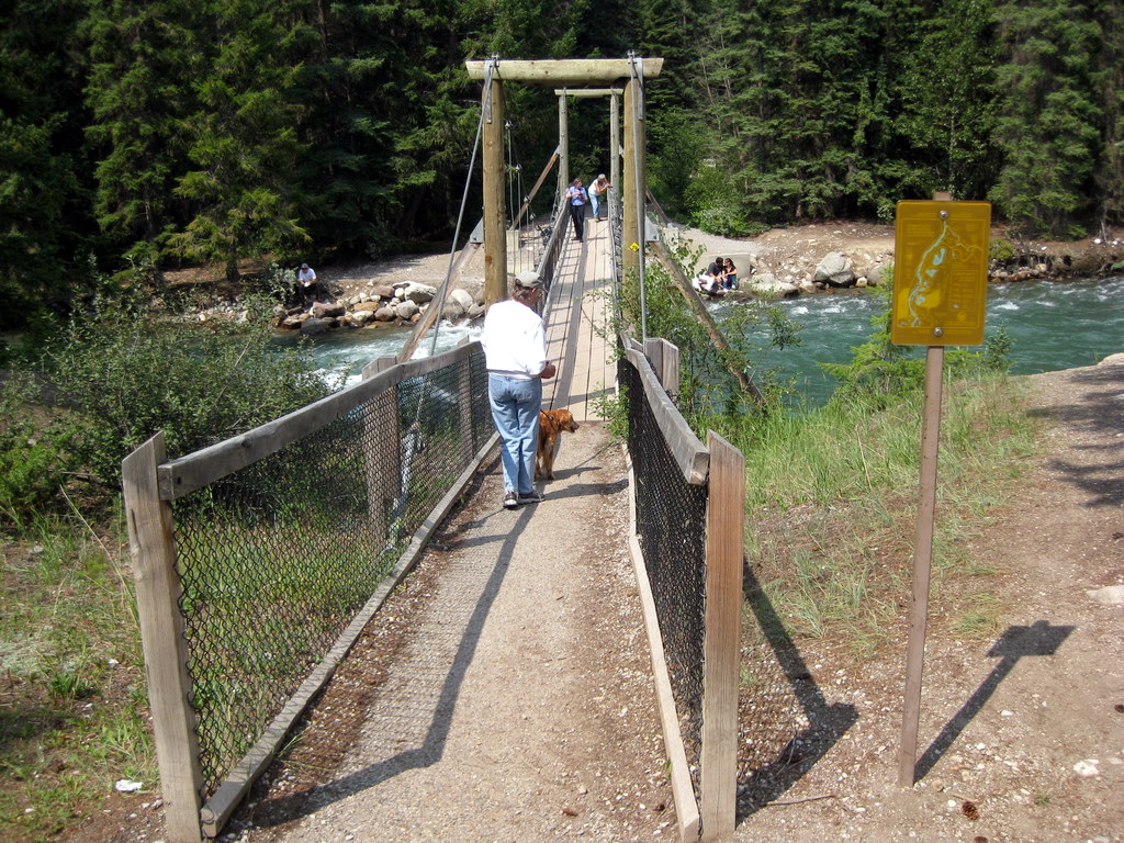
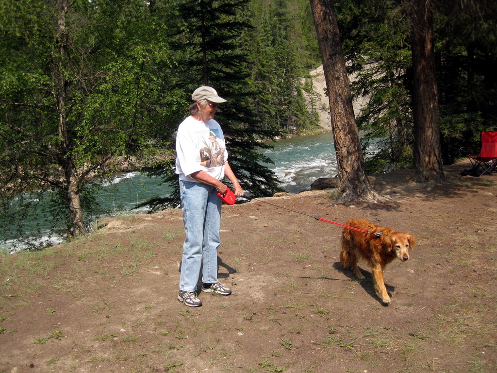
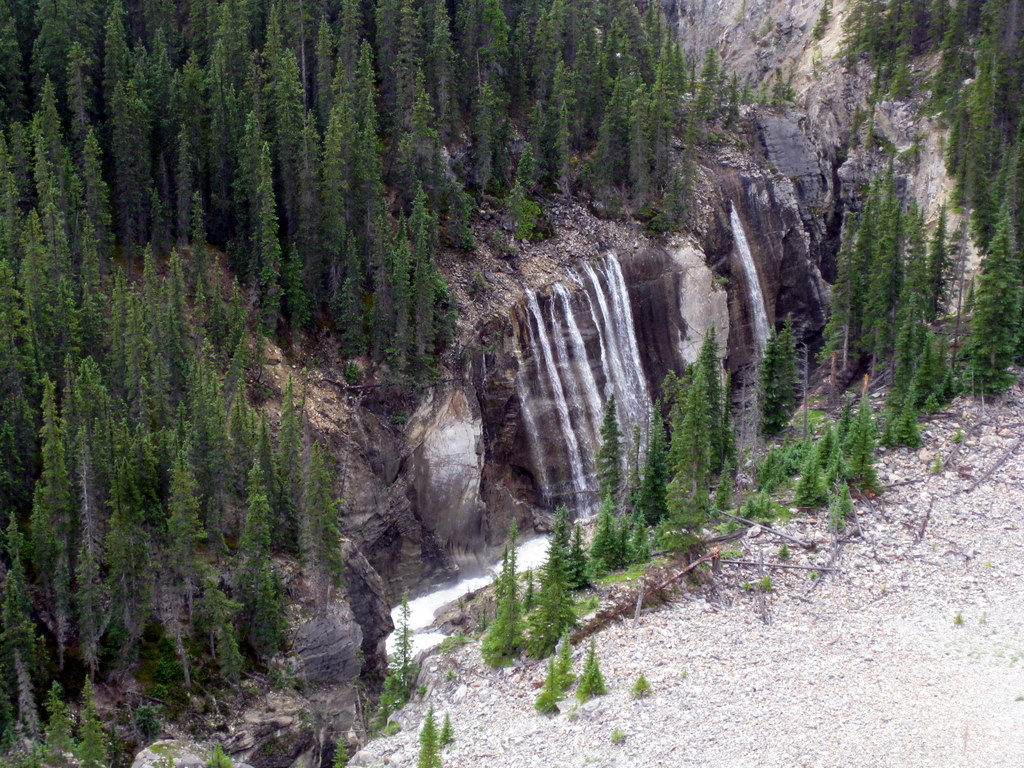
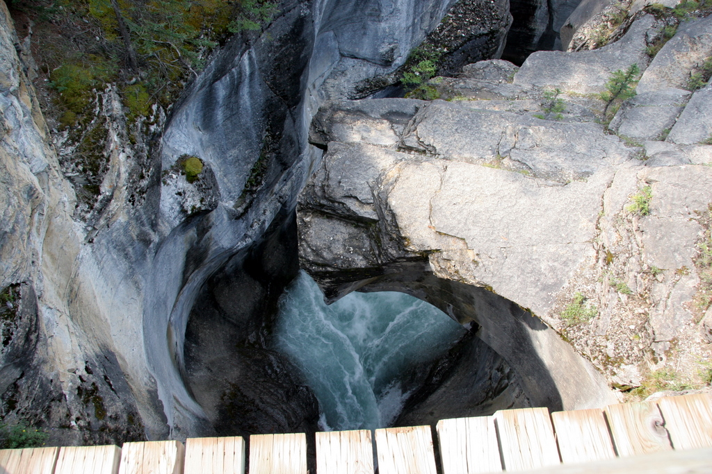
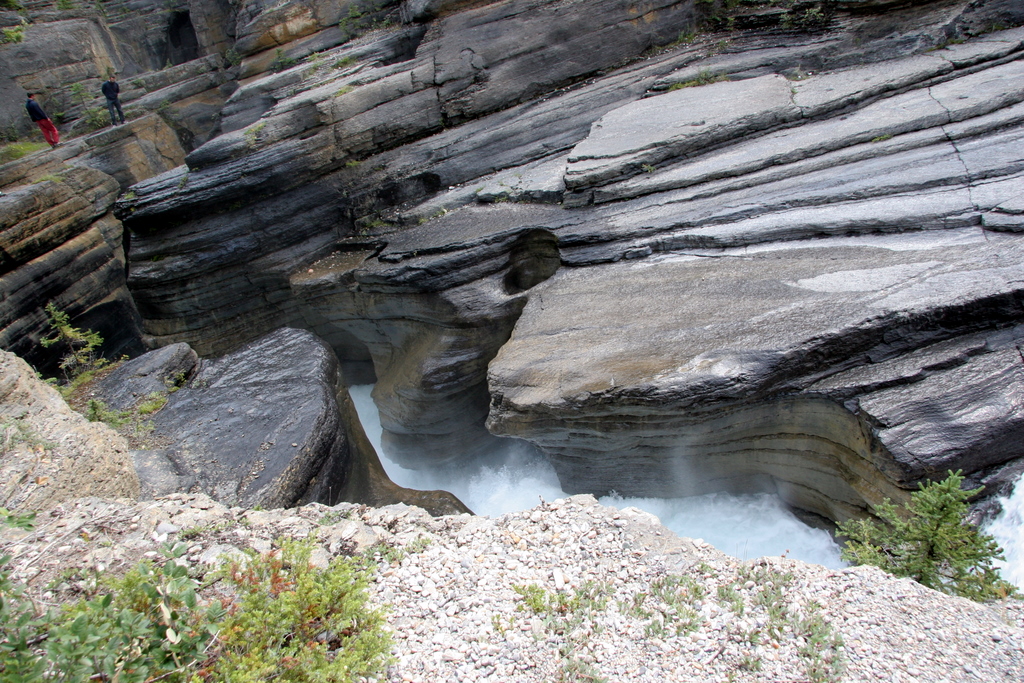
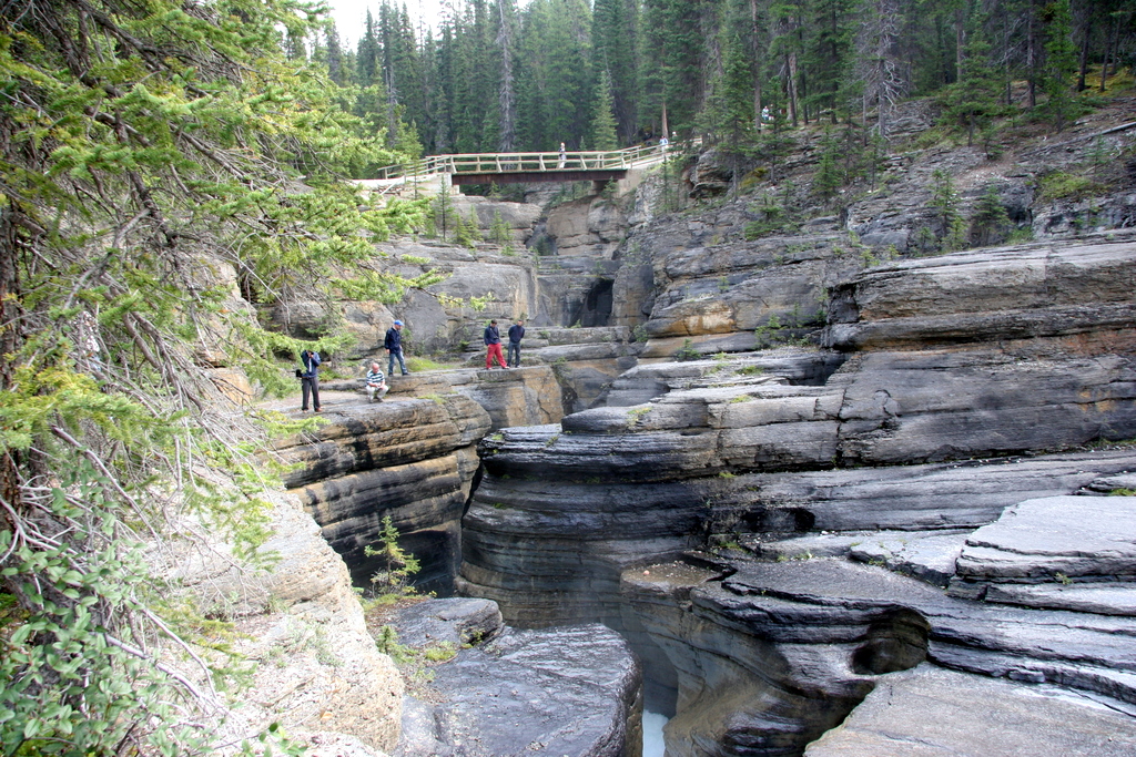
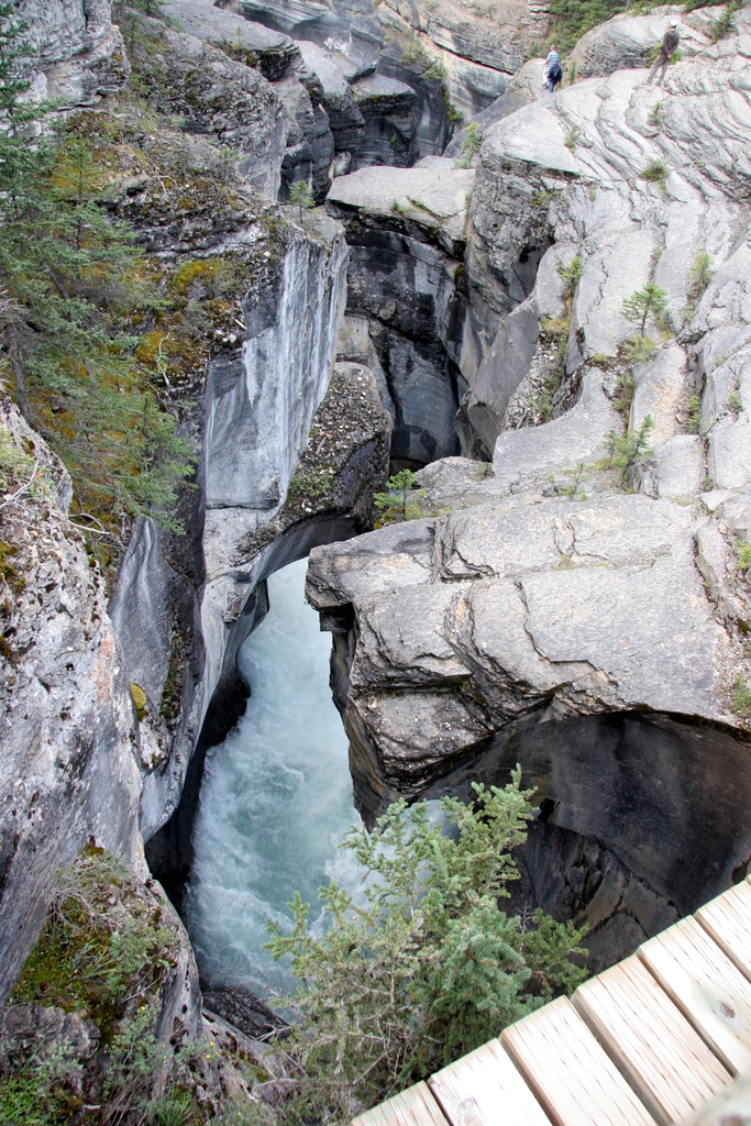
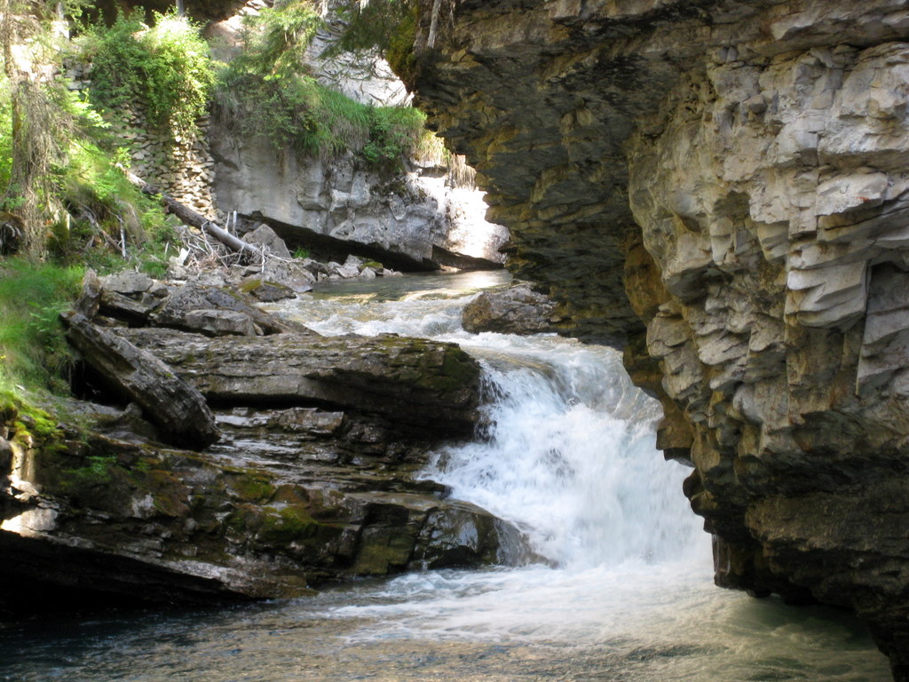
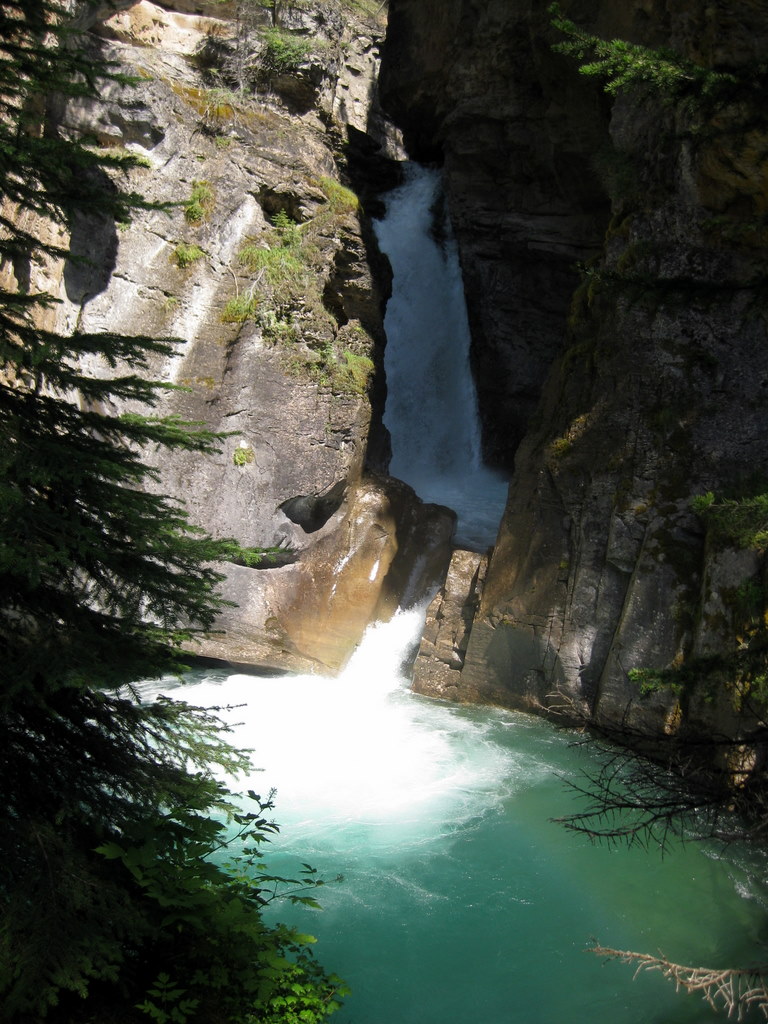
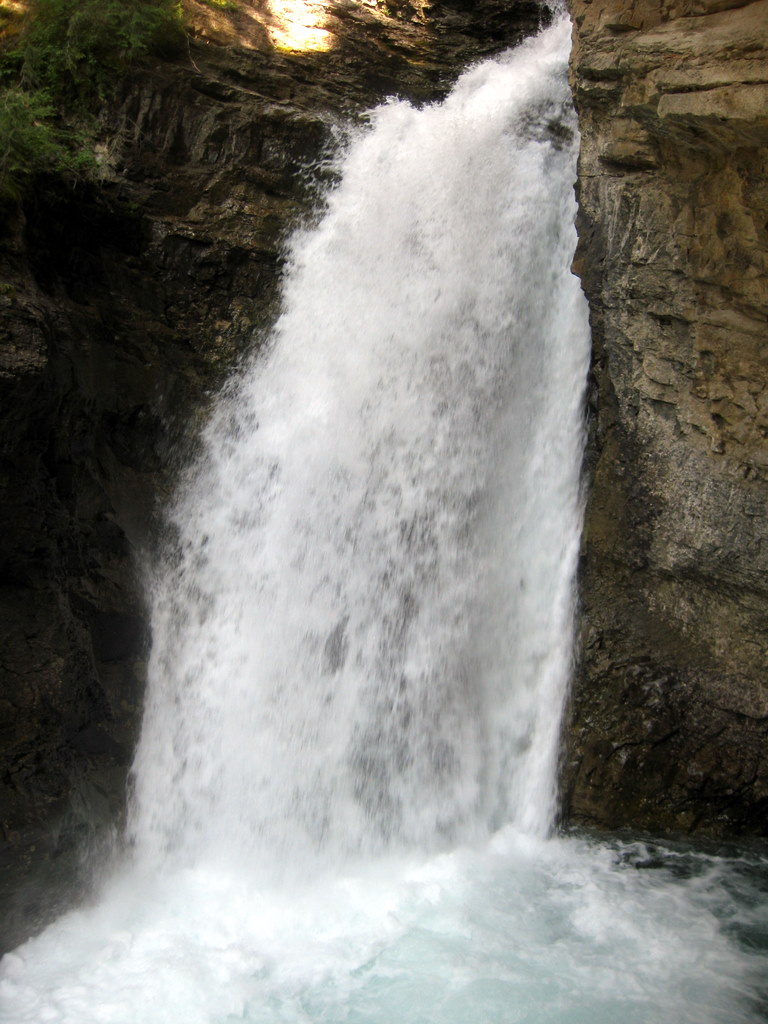
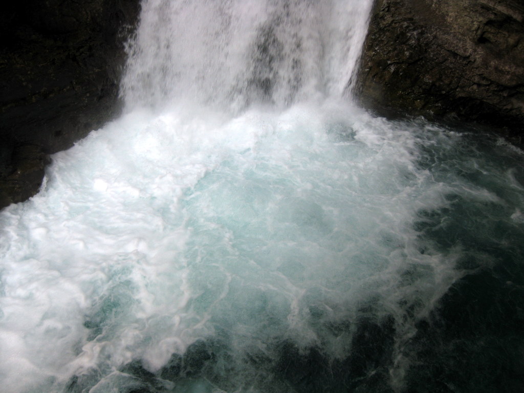
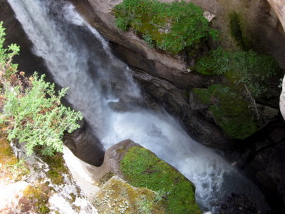
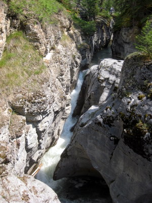
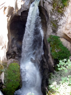
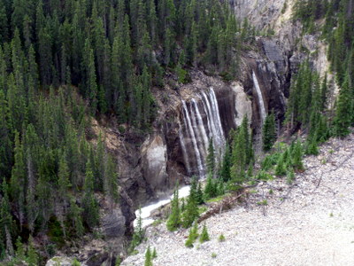
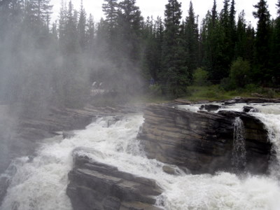
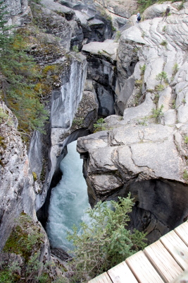
The Canadian Rockies are full of spectacular waterfalls, and we saw many of them. I don't have names for all of them, but some are well known. the eight pictures below are Maligne falls and the Malign Canyon, a narrow sculpted gorge that is really something to see.
|

|
|
|
|
|
We did a bit of geocaching around Jasper, and even met the gentleman who placed most of them. Gave us a good look at the area and its features.
|
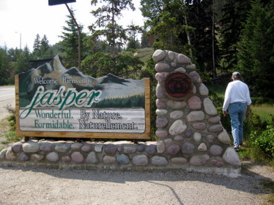
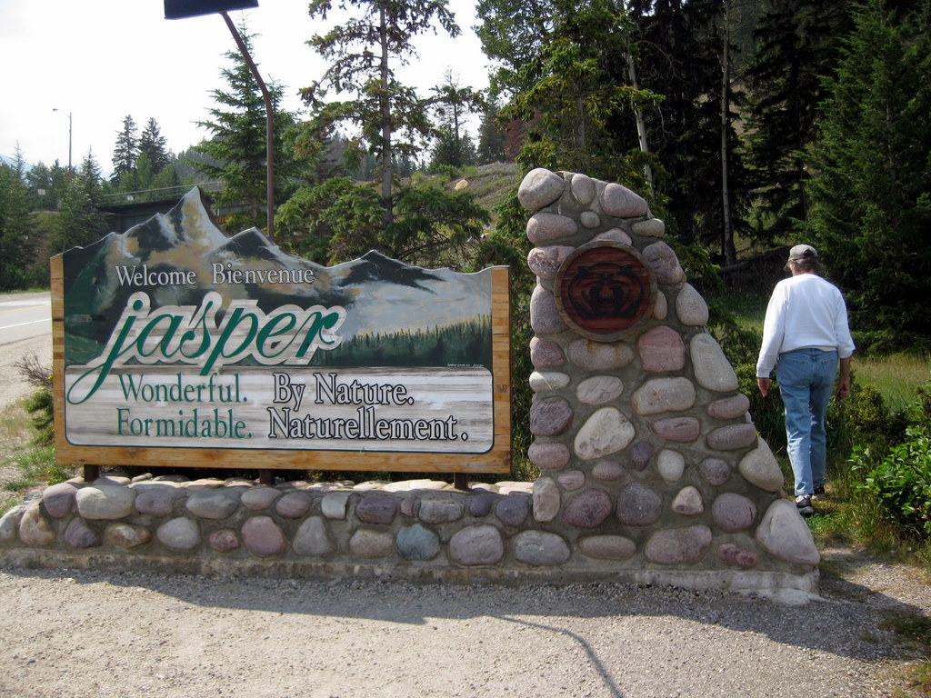
Welcome to Jasper
|

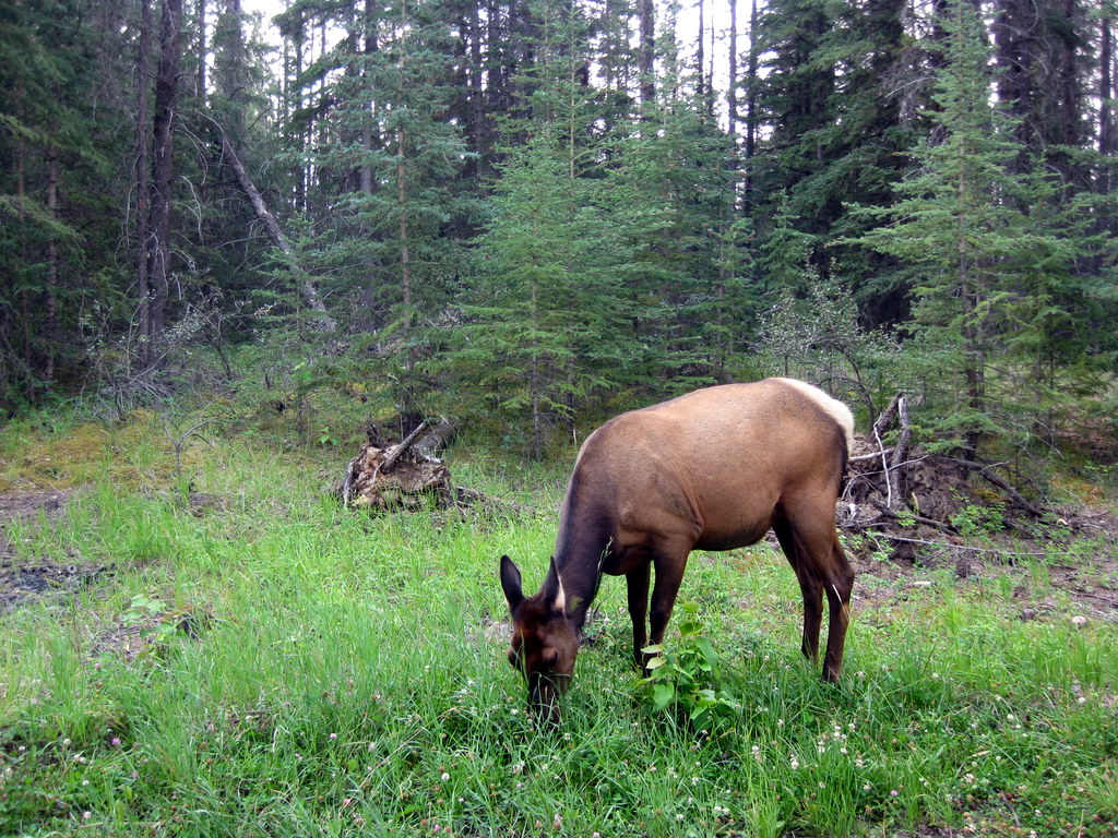
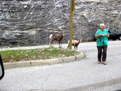
Elk in Jasper National Park
|
This elk was on the outskirts of Jasper. One of several seen during our visit to the park.
|
|
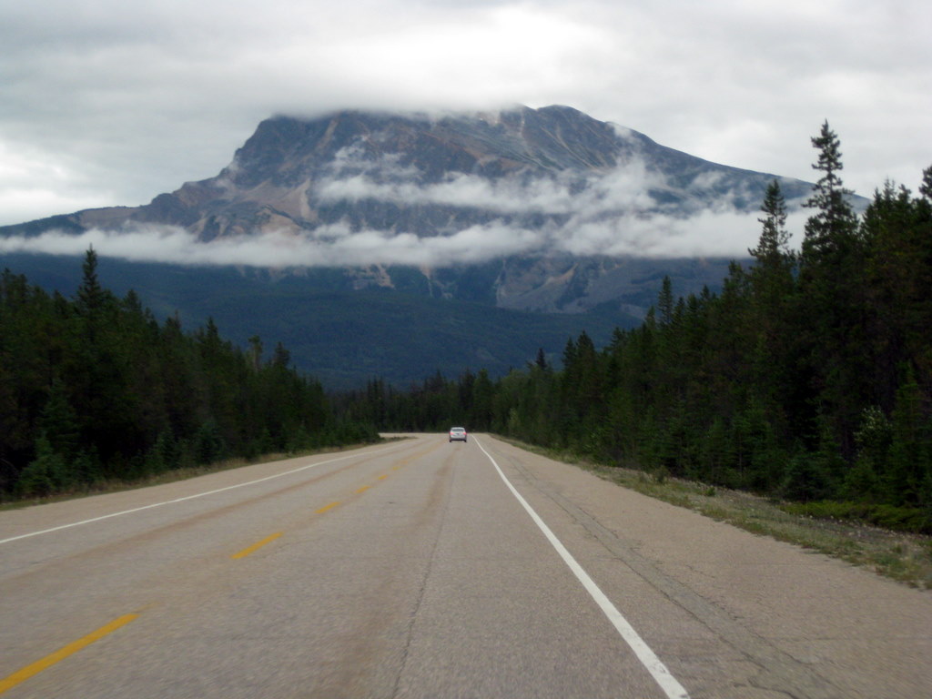
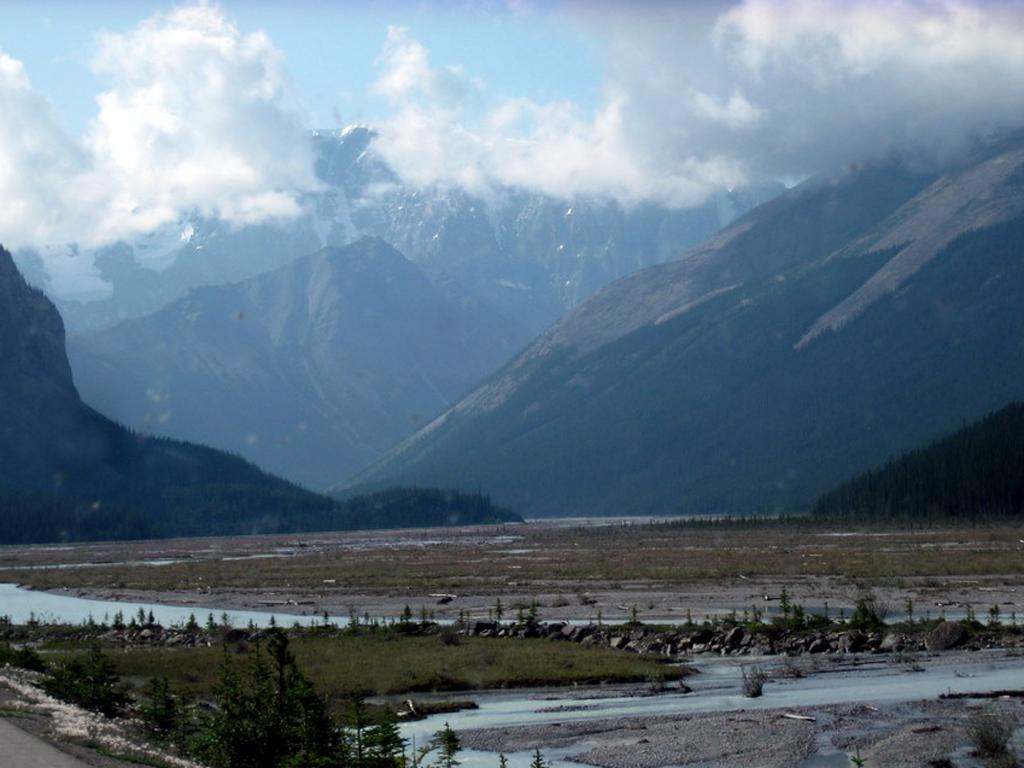
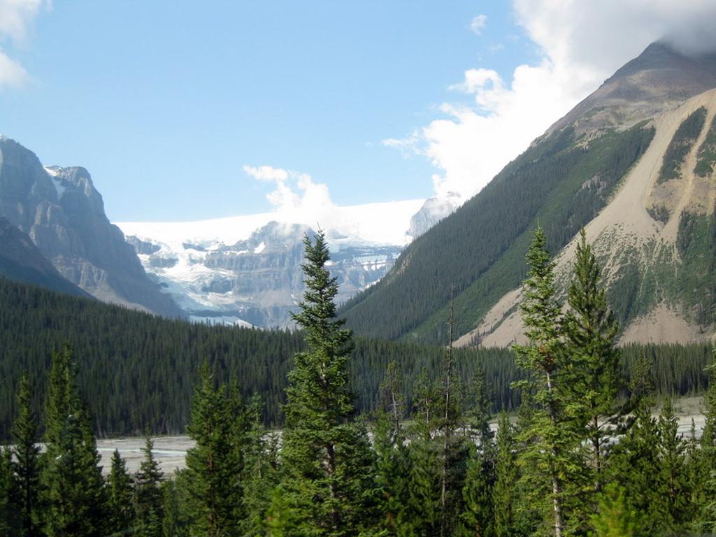
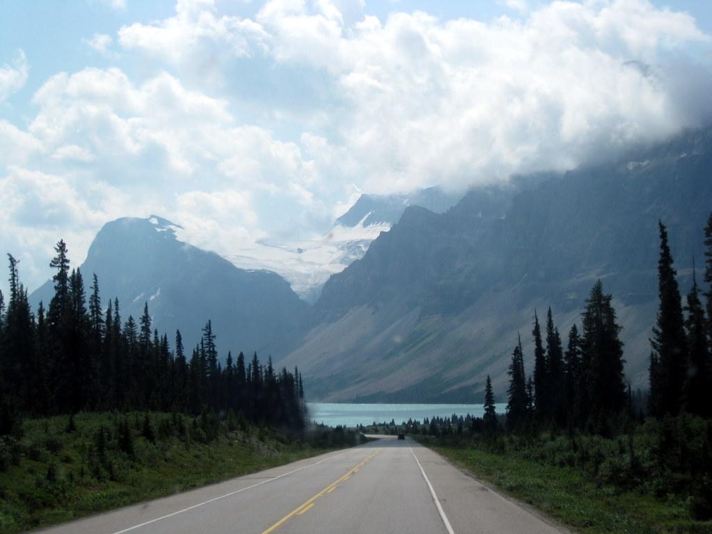
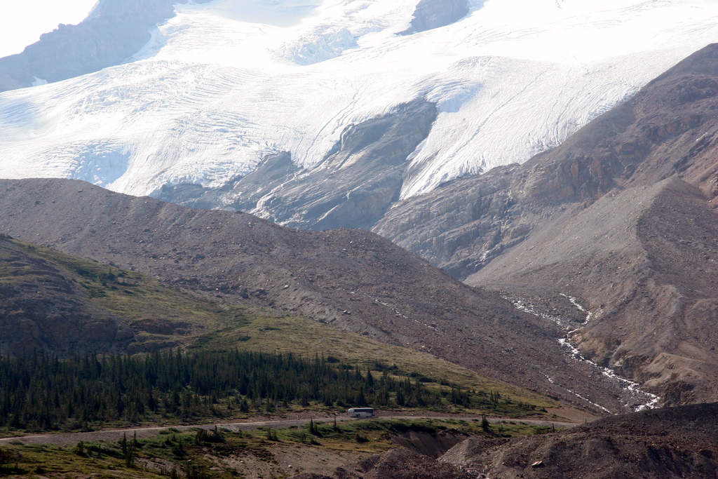
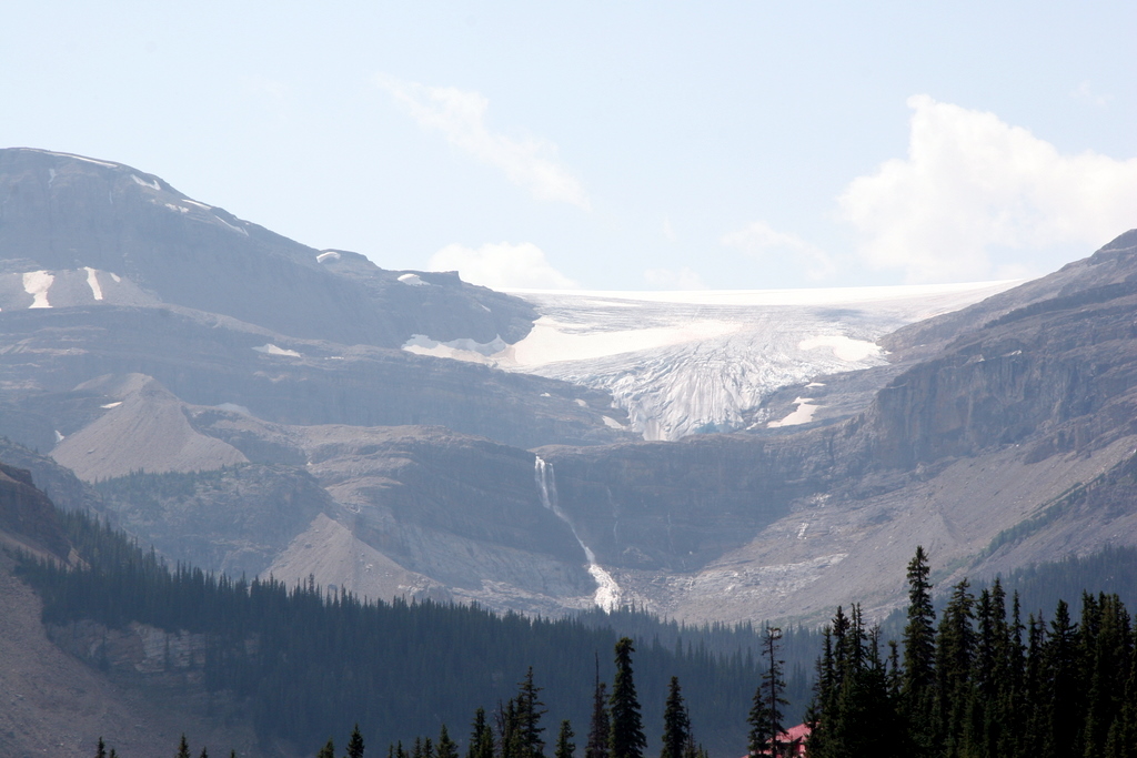
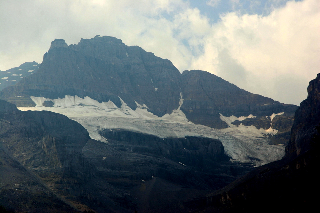
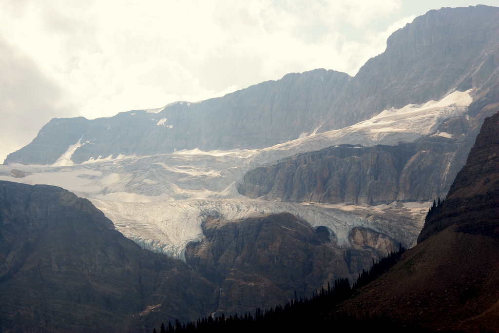
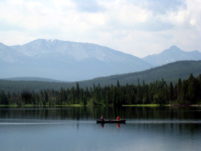
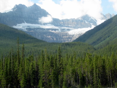
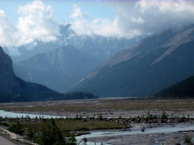
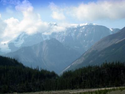
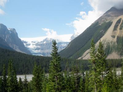
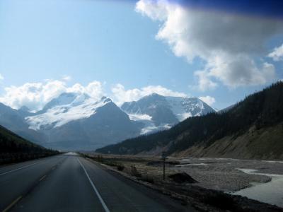
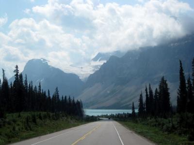
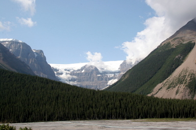
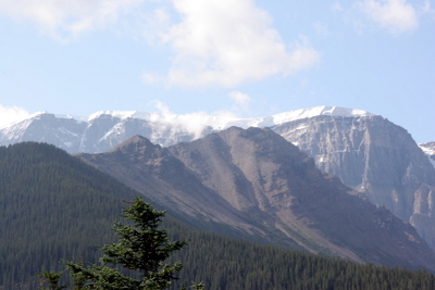
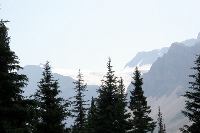
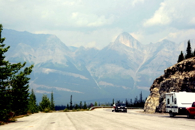
We made two trips along the parkway, and the pictures below are a mixture of the two trips. One was made on a cloudy overcast day, and the other had a lot of sunshine, with both lighting types giving different effects.
|
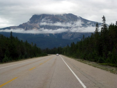
The Icefields Parkway
|
The Icefields Parkway
|
The Icefields Parkway
|
The Icefields Parkway
|
The Icefields Parkway
|
The Icefields Parkway
|
The Icefields Parkway
|
The Icefields Parkway
|
The Icefields Parkway
|
The Icefields Parkway
|
The Icefields Parkway
|
The Icefields Parkway
|

The Icefields Parkway
|

The Icefields Parkway
|
The Icefields Parkway
|

The Icefields Parkway
|

Icefields Parkway
|
Icefields Parkway
|
Icefields Parkway
|

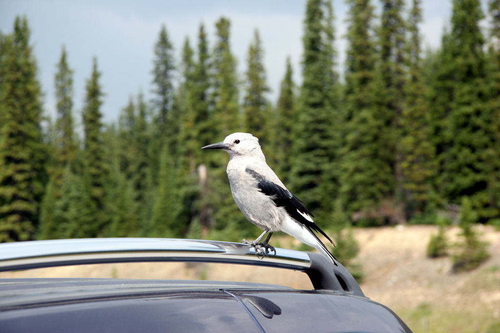
Clark's Nutcracker
|
|
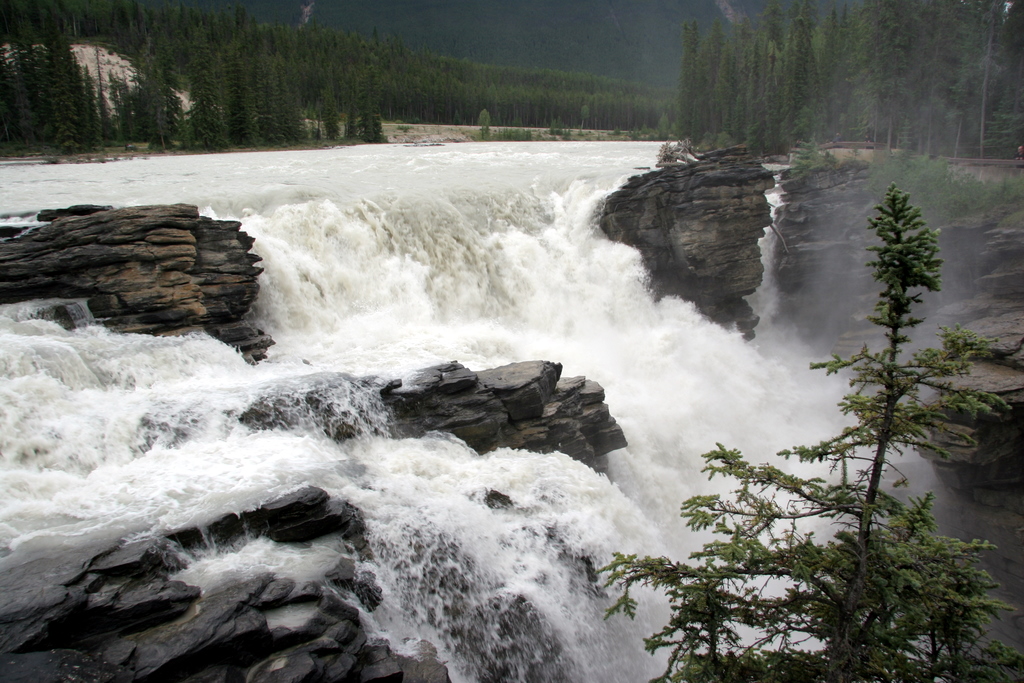
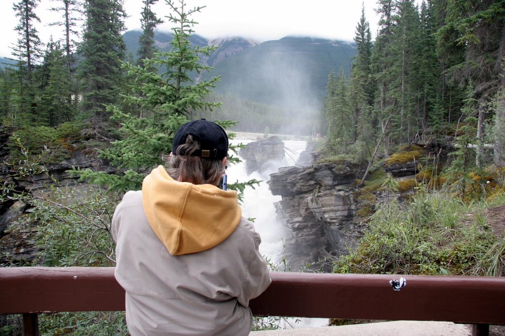
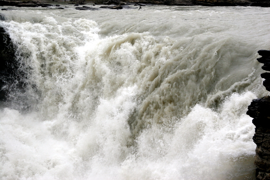
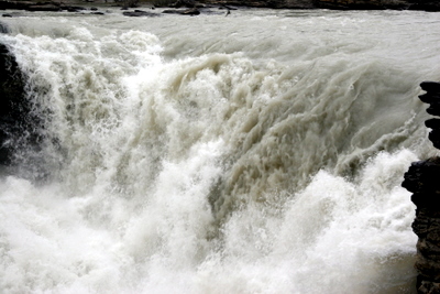
Possibly the most powerful falls we saw on this trip was Athabasca Falls. Huge amounts of water roaring over these falls, with lots of sound and fury.
|
Athabasca Falls
|
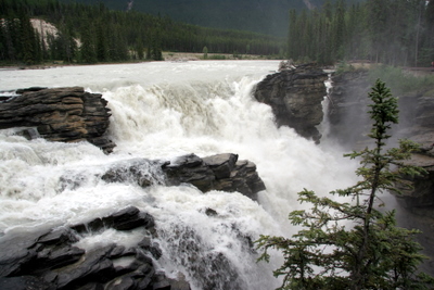
Athabasca Falls
|

Athabasca Falls
|
Athabasca Falls
|
|
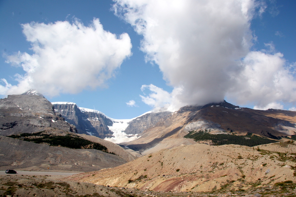
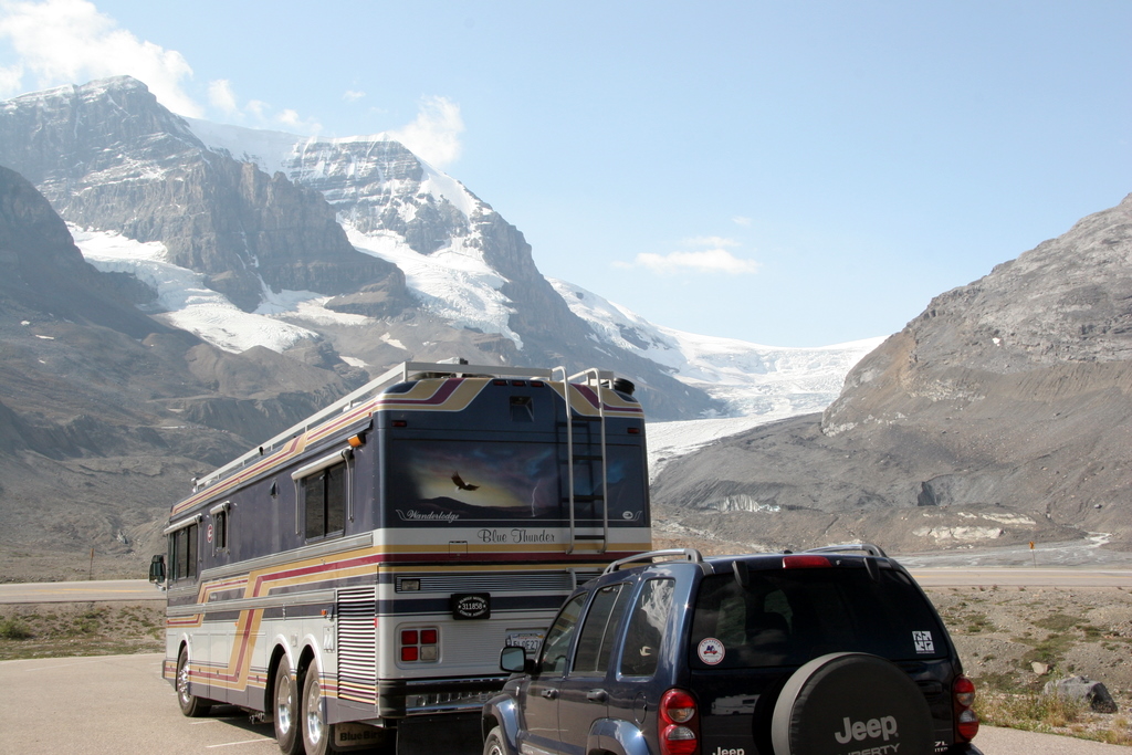
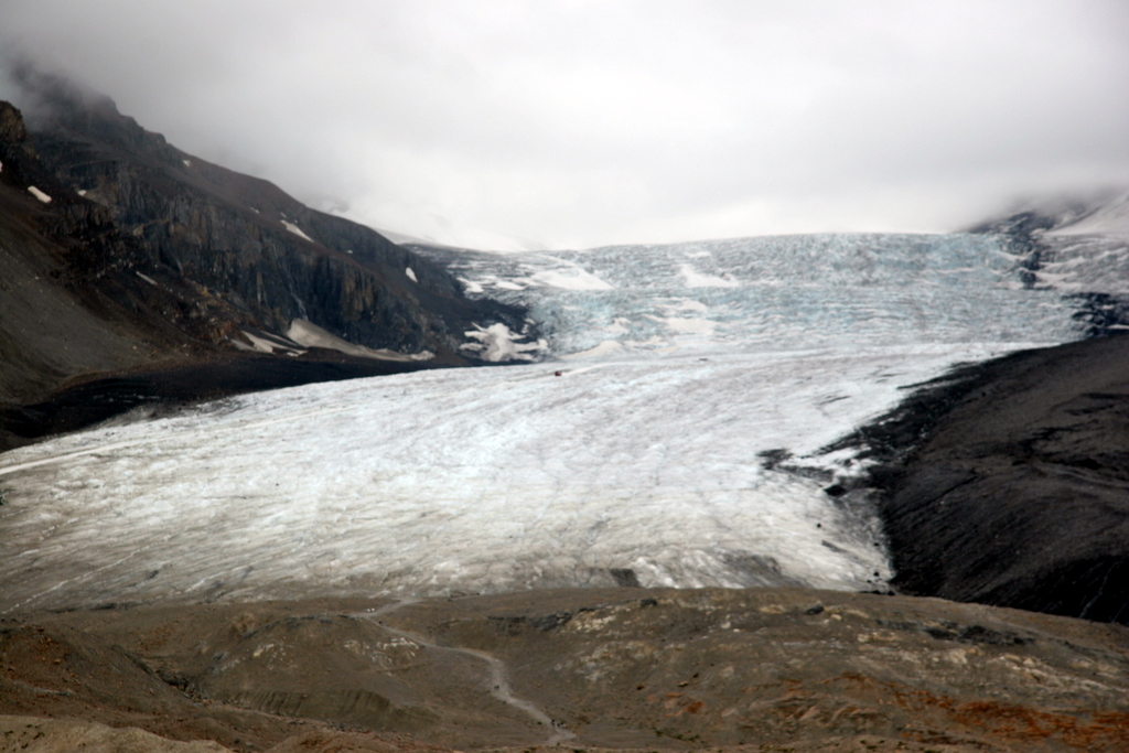
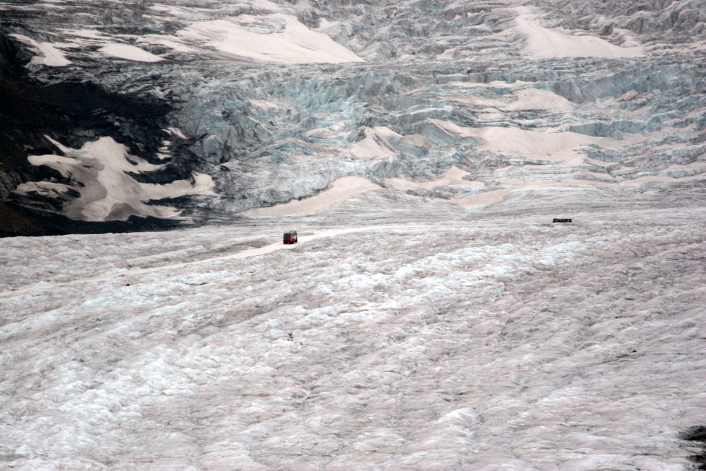
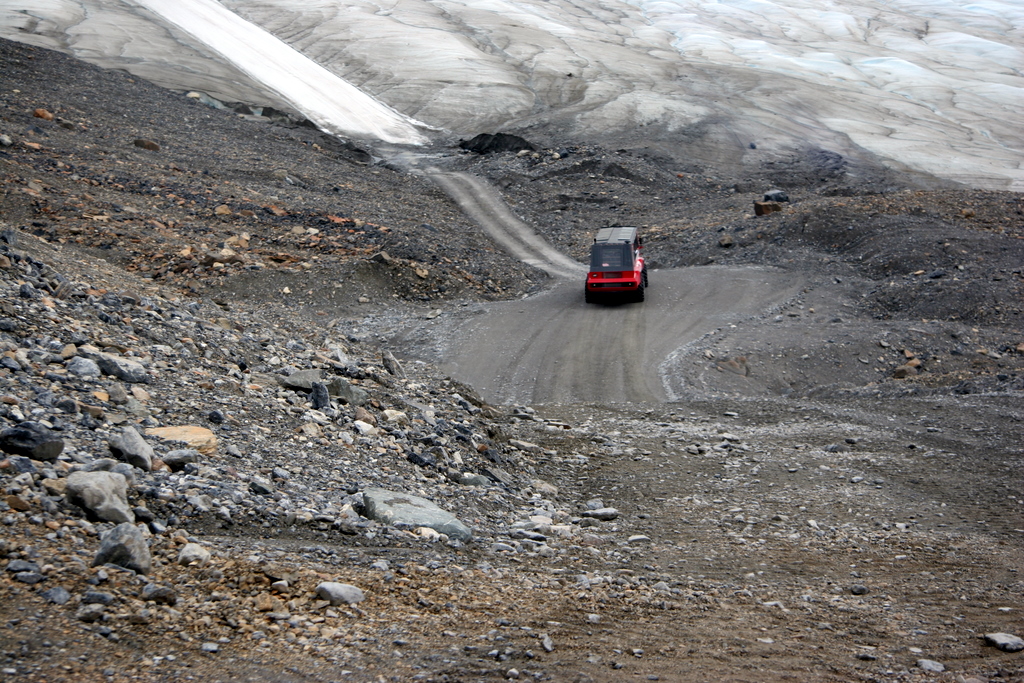
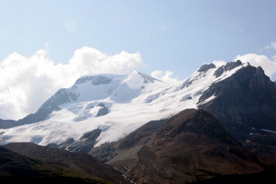
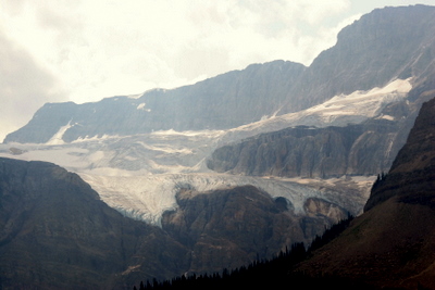
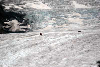
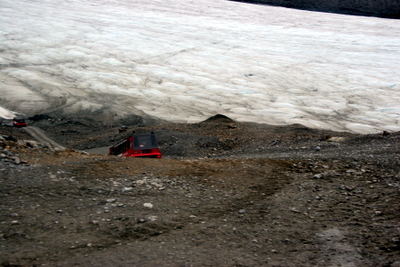
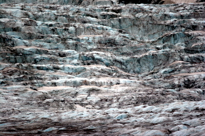
A major destination on the Icefields Parkway is the Athabasca Glacier, which flows from the Columbia Icefields. You can travel out onto the glacier in an "Ice Explorer" bus, one of which can be seen in the distance as a speck below left and with a telephoto shot, below right.
|

Athabasca Glacier
|

Athabasca Glacier
|
Athabasca Glacier
|
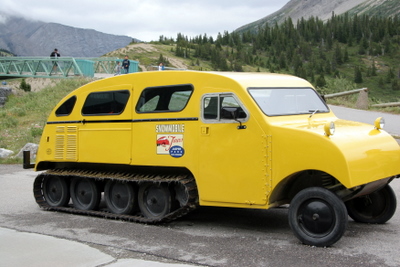
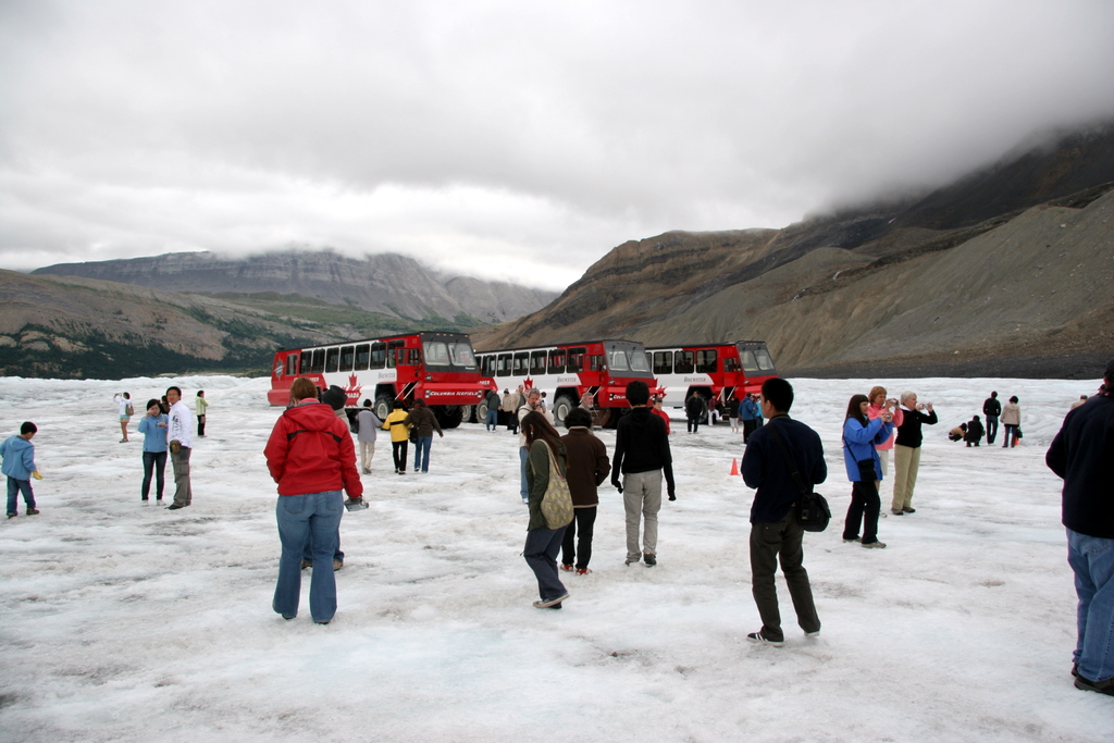
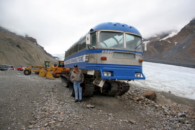
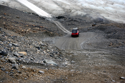
Ice Explorer
|
The first generation Ice Explorers were tracked cars like the one at left. Then they went to over-the-road busses mounted on tracks (with no suspension!) like the one below left.
Current models are 56-passenger busses mounted on rubber tires that are 5 feet tall and 3 feet across, much more comfortable!
|
Ice Explorer
|
Ice Explorer
|
|
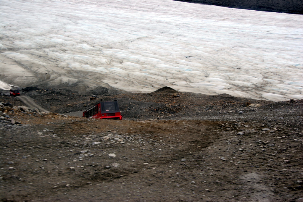
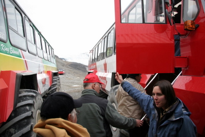
The Explorers take you down the moraine and onto the ice, then up to just below the next icefall level. You get about 15-20 minutes to wander around, drink glacier water, and of course take lots of pictures!
|
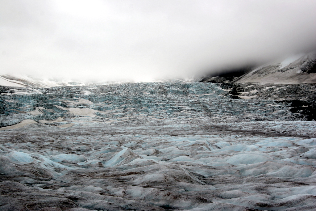
Athabasca Glacier
|
Athabasca Glacier
|

Athabasca Glacier
|
Athabasca Glacier
|
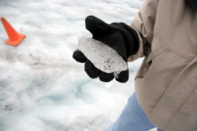
Joy holds a piece of glaciel ice.
|
|
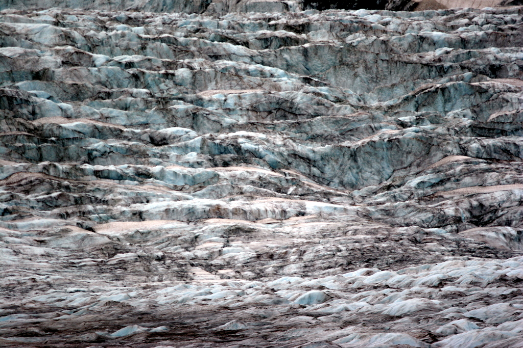
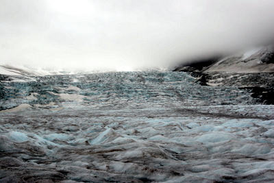
A shot of the icefall above us, along with a closeup. As the glacier "pours" (at about 125 meters per year) over the edge and down to the level we are on, it cracks and displays layers of rock and deep blue-green ice.
|
Athabasca Glacier
|
Athabasca Glacier
|

|
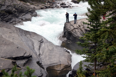
Another waterfall along the parkway is Mistaya Canyon. A very interesting narrow, twisting canyon as the Mistaya River drops down to join the Saskatchewan River.
|
|

|

Mistaya Canyon
|
Mistaya Canyon
|
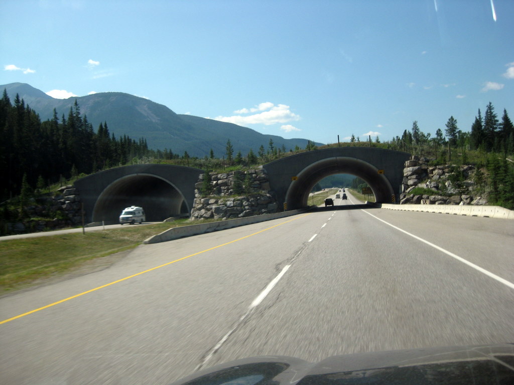
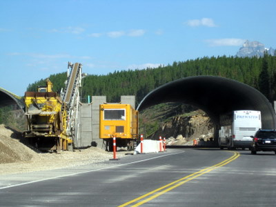
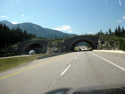
At the south end of the Icefield Parkway we get onto TransCanada Highway 1 into Lake Louise. All along the highway are wildlife crossings, both over and under the road. One is under construction, below left.
Between crossings electrified fences are used to keep wildlife from getting onto the highway.
|
Wildlife Crossing on TCH1
|
Wildlife Crossing on TCH1
|
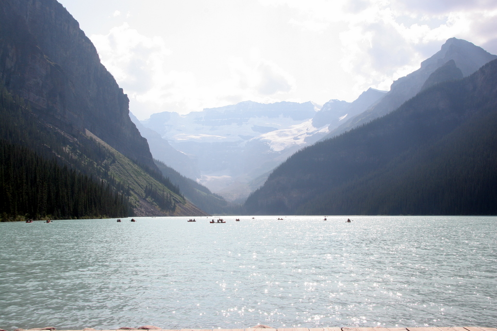
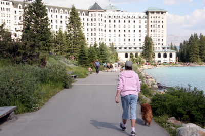
Lake Louise is a very popular tourist destination. The lake itself is photogenic with the mountains and glacier at the far end.
There was a geocache near where Joy is standing.
|

Lake Louise
|
Lake Louise
|
Lake Louise
|
|
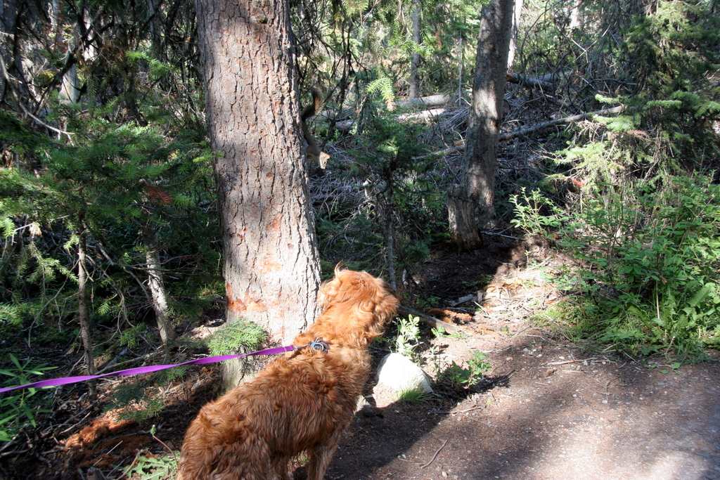
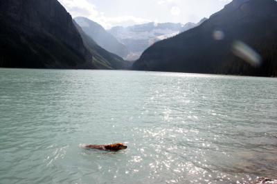
Holly had a short swim in the lake, and later came almost nose-to-nose with a squirrel.
|
Holly at Lake Louise.
|
Holly at Lake Louise.
|
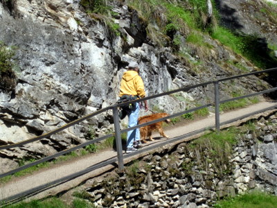
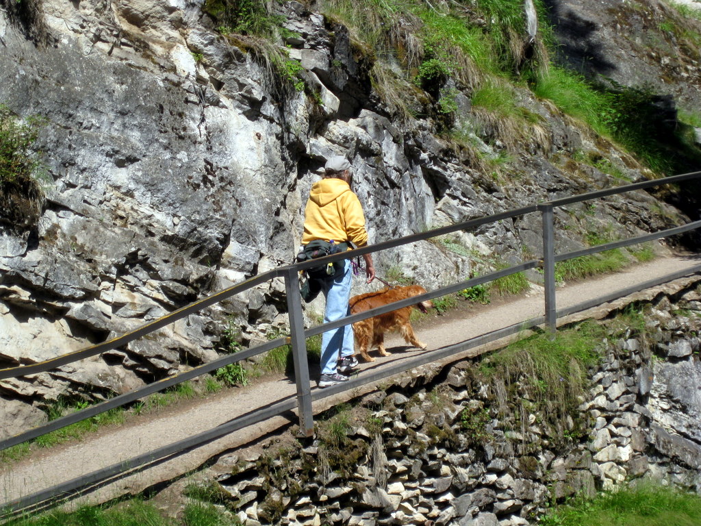
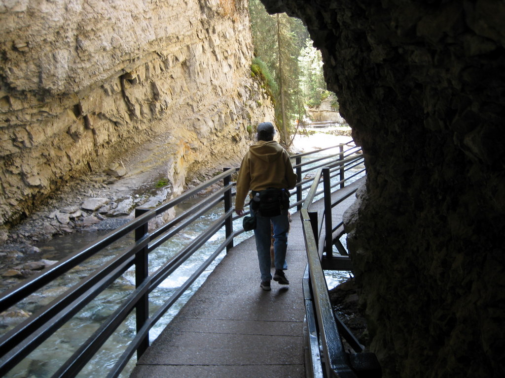
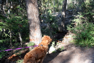
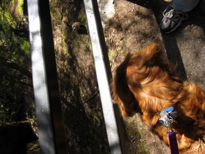
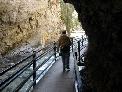
Walking up to the lower falls in Johnston Canyon
|
A very sassy chipmunk!
|
|
Between Lake Louise and Banff is Johnston Canyon. We walked the half-mile up to the lower falls, which like so many other falls up here are very impressive.
|

Lower Falls, Johnston Canyon
|
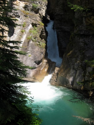
Lower Falls, Johnston Canyon
|

Lower Falls, Johnston Canyon
|
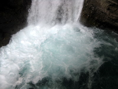
Lower Falls, Johnston Canyon
|
|
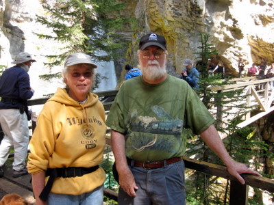
A special type of geocache is an Earthcache, which does not have an actual cache or log, so you prove your presence with a photo and often have to send the cache owner the answer to a question based on info available at the site. The lower falls are an earthcache, and this was our "proof" photo.
|
Lower Falls of Johnston Canyon
|
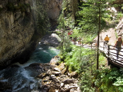
Johnston Canyon
|
Johnston Canyon
|
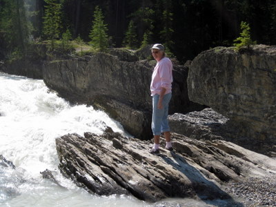
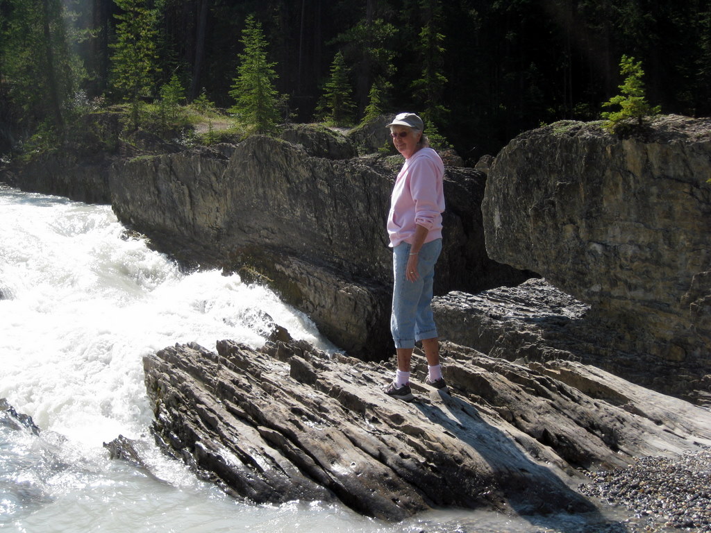
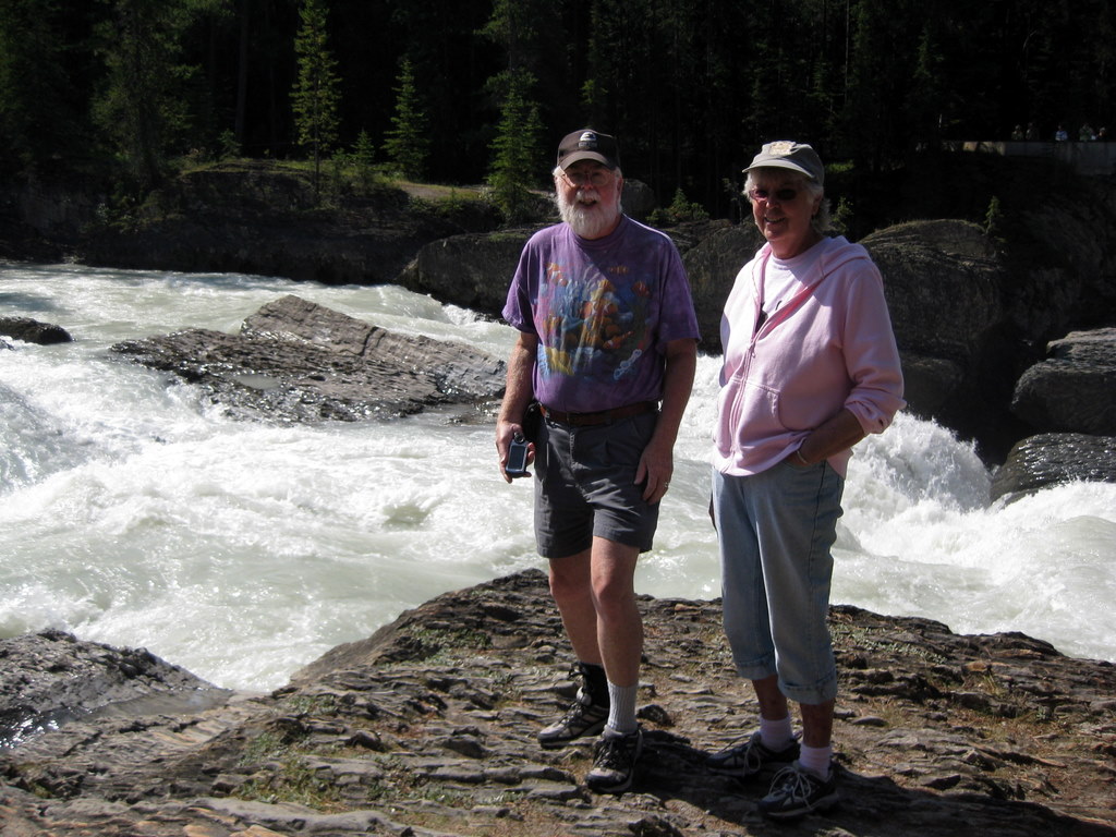
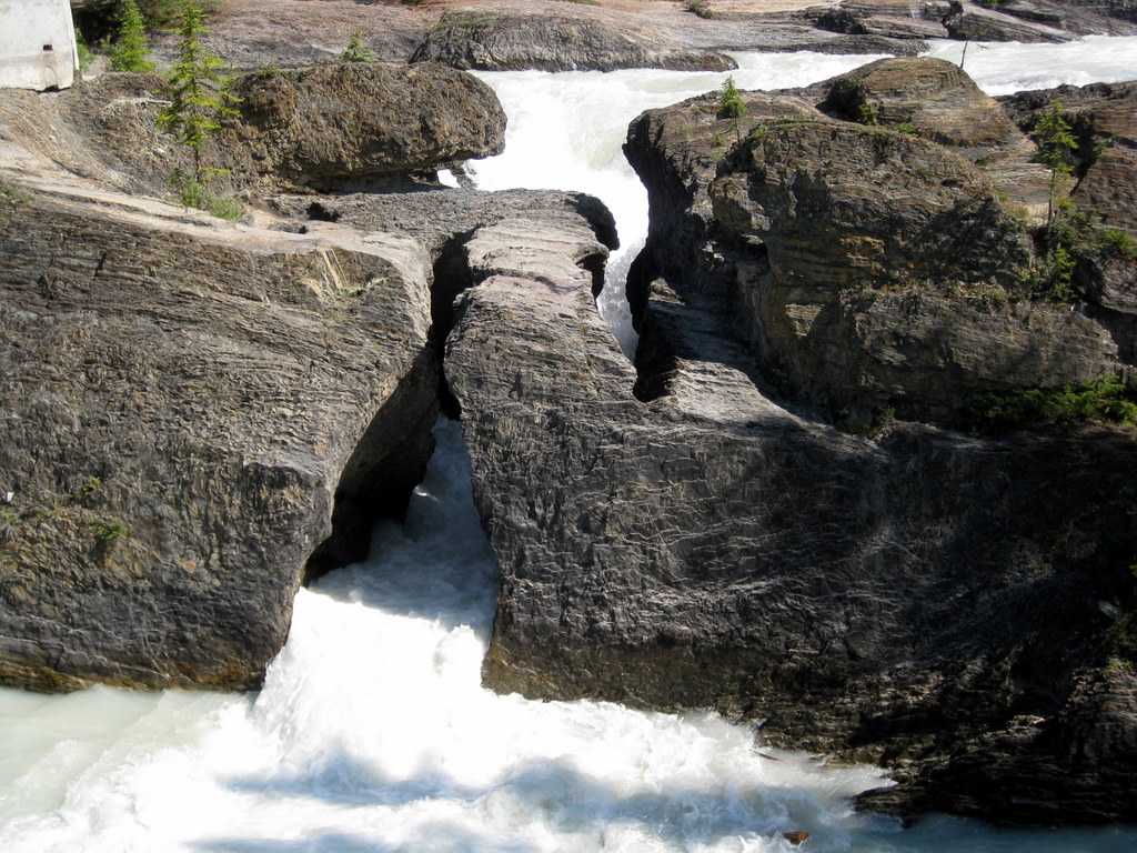
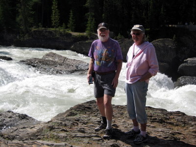
Natural Bridge on the Kicking Horse River
|
This is another Earthcache, a Natural Bridge on the Kicking Horse River in Yoho National Park, just west of Lake Louise.
|
Natural Bridge on the Kicking Horse River
|

Natural Bridge on the Kicking Horse River
|
Go to page 1 of the "Canada" pages
|
 Comments? Send mail to donb@arcatapet.net Comments? Send mail to donb@arcatapet.net
Snail Mail: Arcata Pet, 600 F Street, Arcata, CA 95521-6301 USA
Webspace provided by and ©Copyright 1994-2026 by Don Bradner, All Rights Reserved.
|